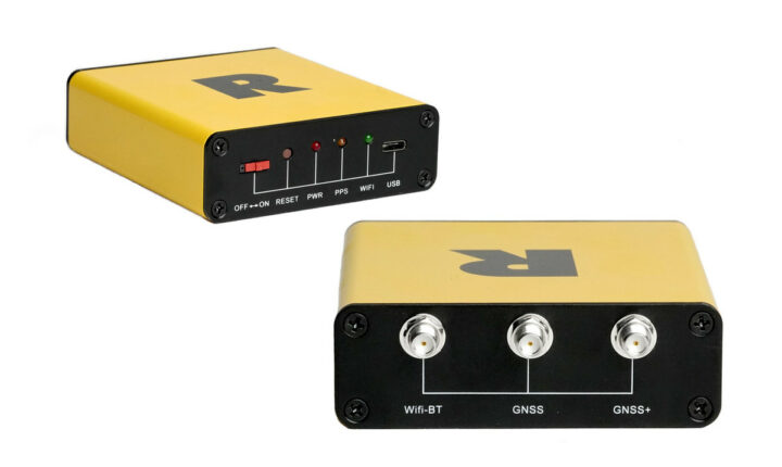
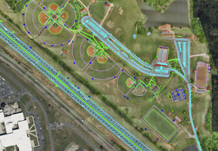
ROCK Robotic has announced the ROCK Base triple-band multi-constellation RTK/GNSS base station that works with the Web3 GEODNET decentralized GNSS reference network, with the solution designed to offer centimeter accuracy to support applications such as civil surveying, high-definition mapping, digital twin creation, and robotic solutions.
Real-time Kinematic (RTK) is a relative positioning technique relying on GNSS (GPS, Galileo, GLONASS, Beidou …) and allowing centimeter positioning accuracy. The technique requires an RTK “Base station” like the ROCK Base and a lower-cost “Rover station” typically attached to a vehicle or drone. For higher accuracy, it’s also possible to use a Network RTK:
Network RTK is based on the use of several widely spaced permanent stations. Data from reference stations is combined in a common data processing in a control center. The control center computes corrections for the spatially correlated errors within the network. These corrections are transmitted to the rover. Comparing to single station RTK, the advantages of network RTK is better modeling of spatially correlated errors over larger distance, which the distance between rover and reference station can be increased.
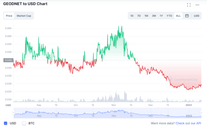
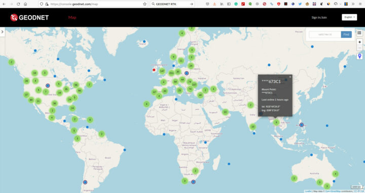
The GEODNET network enables this and collects “Space Weather” data shared through blockchain technology and users of the ROCK Base can also earn GEOD tokens to help monetize and maintain the network.
ROCK Base specifications:
- GNSS
- GNSS RTK Module: Unicore UM980
- Channels: 1408
- Signals tracked:
- GPS/QZSS – L1C/A, L1C, L2P (Y), L2C, L5
- Galileo – E1, E5a, E5b
- Glonass – L1, L2
- BeiDou – B1I, B2I, B3I, B1C, B2a, B2b
- Accuracy – ± 1 cm
- Wireless
- WiFi – 2.4GHz (802.11 b/g/n)
- Bluetooth 4.2, Class 1,2, and 3 Transmitter
- Power Supply – 5V via USB Type-C port, under 2W power consumption
- Dimensions – 102 x 89 x 31 mm
- Weight – 456 grams
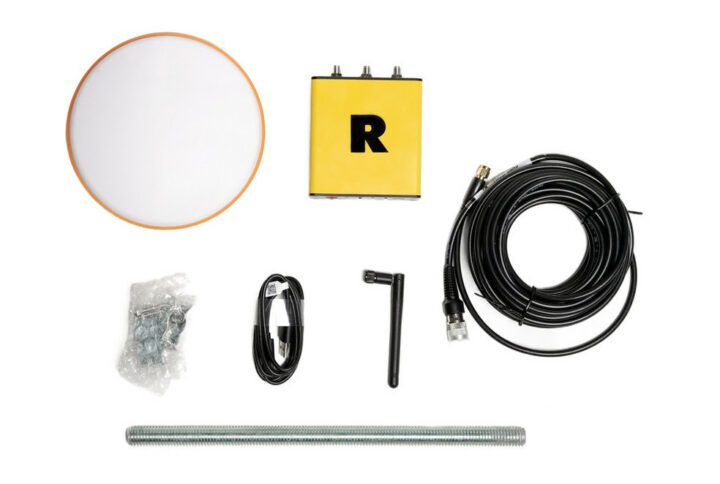
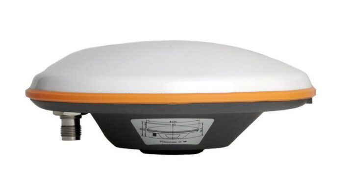
The ROCK Base ships with a survey-grade triple-band roof antenna, a 9m antenna cable, a WiFi antenna, a USB-C power cable, and a 30 cm mounting pole and brackets.
We had previously seen several LoRaWAN gateways with blockchain/crypto tokens such as the Helium Hotspot and MatchX M2 Pro, but I think it’s the first time I see a GNSS base station offering tokens, although the GEODNET network was initially supported by HYFIX GEODNET Miners. There are already hundreds of HEODNET space weather and service provider miners around the world, and GEOD tokens can be exchanged for US dollars.
ROCK Robotic provides cloud-based LiDAR and 3D Map processing software and LiDAR cameras that generates topographic surveys for the mining industry, smart farming, and so on. Their customers basically fly a drone with a LiDAR camera to create those maps and the higher the drone position accuracy the better the data.
Eventually, their customers may not even need to purchase a ROCK Base station and will be able to connect to the company’s RTK Network through a subscription.
The ROCK Base is up for pre-order for $750 with all accessories. More details can be found on the product page and press release.
Thanks to TLS for the tip.

Jean-Luc started CNX Software in 2010 as a part-time endeavor, before quitting his job as a software engineering manager, and starting to write daily news, and reviews full time later in 2011.
Support CNX Software! Donate via cryptocurrencies, become a Patron on Patreon, or purchase goods on Amazon or Aliexpress
